File:South Africa relief location map.svg
Jump to navigation
Jump to search


Size of this PNG preview of this SVG file: 699 × 599 pixels. Other resolutions: 280 × 240 pixels | 560 × 480 pixels | 896 × 768 pixels | 1,195 × 1,024 pixels | 2,389 × 2,048 pixels | 2,031 × 1,741 pixels.
Original file (SVG file, nominally 2,031 × 1,741 pixels, file size: 5.23 MB)
Summary
| Description |
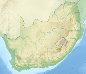
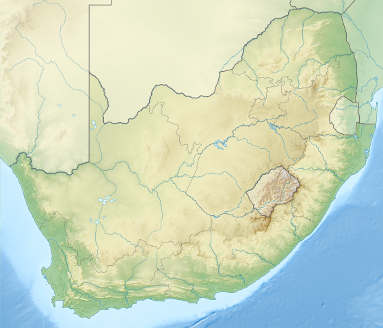
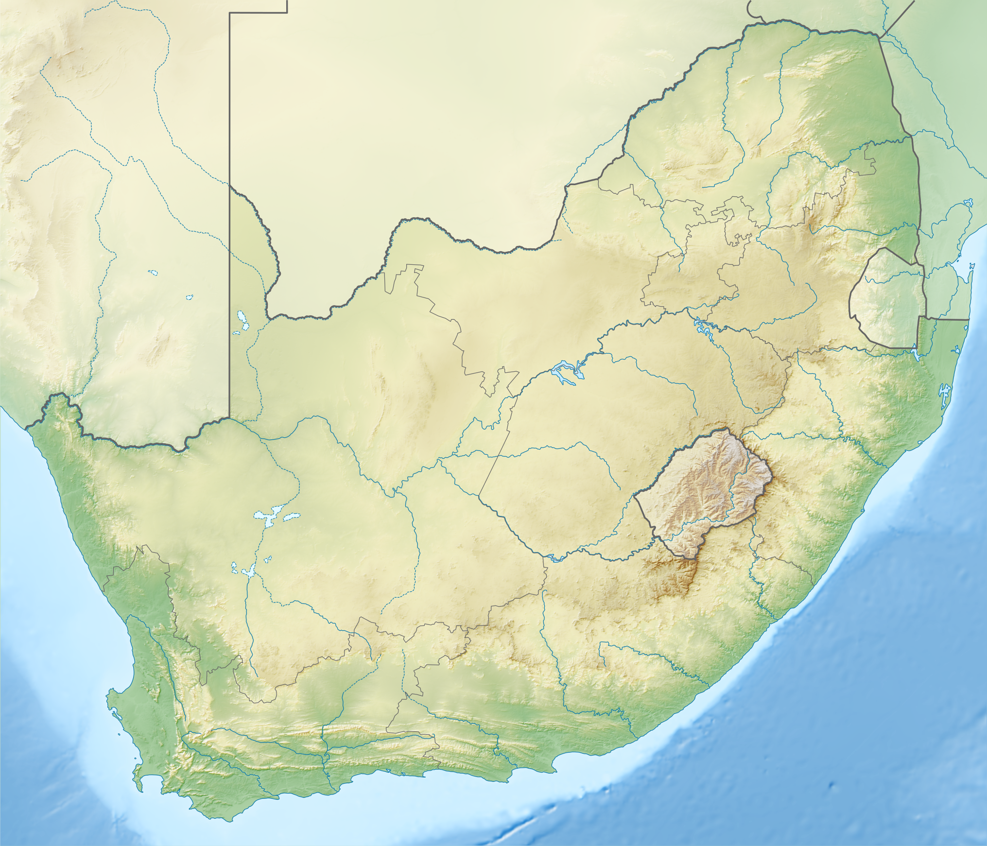
English: Relief location map of South Africa
Equirectangular projection, N/S stretching 110 %. Geographic limits of the map:
|
| Date | |
| Source |
|
| Author |
|
| Other versions | Derivative works of this file: Shaka's Empire map.svg |
Licensing
This file is licensed under the Creative Commons Attribution-Share Alike 3.0 Unported license.
- You are free:
- to share – to copy, distribute and transmit the work
- to remix – to adapt the work
- Under the following conditions:
- attribution – You must give appropriate credit, provide a link to the license, and indicate if changes were made. You may do so in any reasonable manner, but not in any way that suggests the licensor endorses you or your use.
- share alike – If you remix, transform, or build upon the material, you must distribute your contributions under the same or compatible license as the original.
File history
Click on a date/time to view the file as it appeared at that time.
| Date/Time | Thumbnail | Dimensions | User | Comment | |
|---|---|---|---|---|---|
| current | 15:59, 4 January 2013 | | 2,031 × 1,741 (5.23 MB) | wikimediacommons>Htonl | == {{int:filedesc}} == {{Information |Description ={{en|1=Relief location map of South Africa Equirectangular projection, N/S stretching 110 %. Geographic limits of the map: * N: 21.8° S * S: 35.2° S * W: 16.0° E * E: 33.2° ... |
File usage
The following 2 pages use this file: