File:Relief map of Italien Ligurien.png
Jump to navigation
Jump to search


Size of this preview: 800 × 409 pixels. Other resolutions: 320 × 164 pixels | 640 × 327 pixels | 1,024 × 524 pixels | 1,280 × 654 pixels | 3,059 × 1,564 pixels.
Original file (3,059 × 1,564 pixels, file size: 3.89 MB, MIME type: image/png)
Summary
| Description |
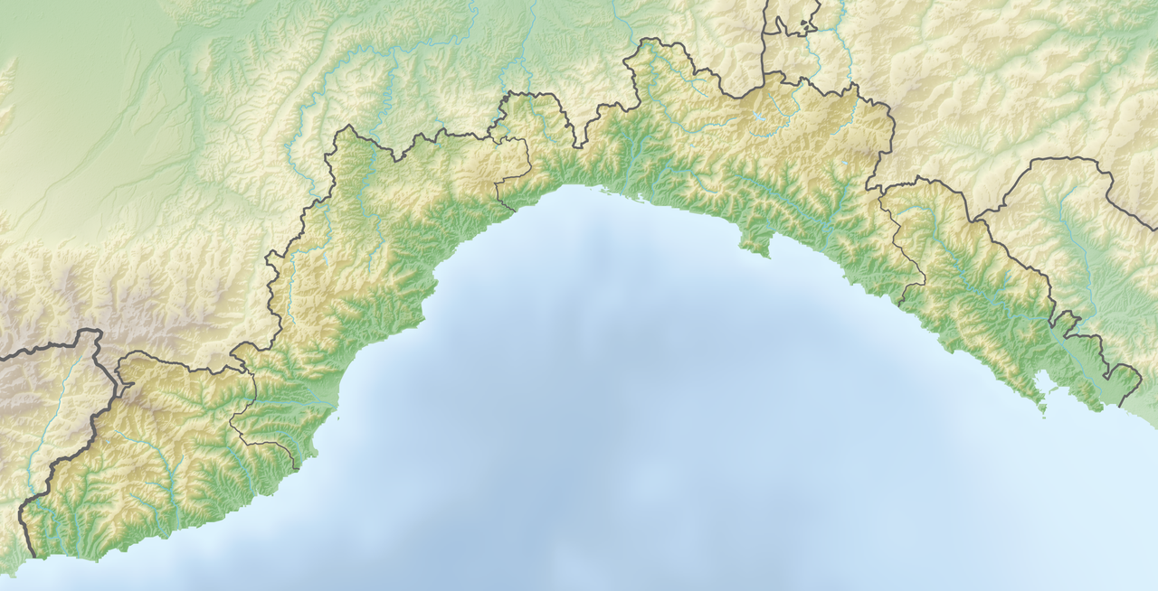
Deutsch: Positionskarte von Ligurien (Italien) English: Location map of Liguria region (Italy) Español: Mapa de localización de la Región de Liguria (Italia).
Equirectangular projection, N/S stretching 115 %. Geographic limits of the map:
|
| Date | |
| Source | Own work |
| Author | Tschubby |
Licensing
I, the copyright holder of this work, hereby publish it under the following licenses:

|
Permission is granted to copy, distribute and/or modify this document under the terms of the GNU Free Documentation License, Version 1.2 or any later version published by the Free Software Foundation; with no Invariant Sections, no Front-Cover Texts, and no Back-Cover Texts. A copy of the license is included in the section entitled GNU Free Documentation License. |
This file is licensed under the Creative Commons Attribution-Share Alike 3.0 Unported license.
- You are free:
- to share – to copy, distribute and transmit the work
- to remix – to adapt the work
- Under the following conditions:
- attribution – You must give appropriate credit, provide a link to the license, and indicate if changes were made. You may do so in any reasonable manner, but not in any way that suggests the licensor endorses you or your use.
- share alike – If you remix, transform, or build upon the material, you must distribute your contributions under the same or compatible license as the original.
You may select the license of your choice.
File history
Click on a date/time to view the file as it appeared at that time.
| Date/Time | Thumbnail | Dimensions | User | Comment | |
|---|---|---|---|---|---|
| current | 05:54, 25 March 2019 | | 3,059 × 1,564 (3.89 MB) | wikimediacommons>Tschubby | == {{int:filedesc}} == {{Information |description={{de|Positionskarte von Ligurien (Italien)}}{{en|Location map of Liguria region (Italy)}}{{es|1=Mapa de localización de la Región de Liguria (Italia).}} Equirectangular projection, N/S stretching 115 %. Geographic limits of the map: * N: 44.725° N * S: 43.7393° N * W: 7.44° E * E: 10.115° E Topographischer Hintergrund: [http://www2.jpl.nasa.gov/srtm NASA Shuttle Radar Topography Mission] (public d... |
File usage
The following 2 pages use this file: