File:Japan natural location map with side map of the Ryukyu Islands.jpg

Size of this preview: 664 × 600 pixels. Other resolutions: 266 × 240 pixels | 531 × 480 pixels | 850 × 768 pixels | 1,133 × 1,024 pixels | 2,497 × 2,256 pixels.
Original file (2,497 × 2,256 pixels, file size: 830 KB, MIME type: image/jpeg)
Summary
| Description |
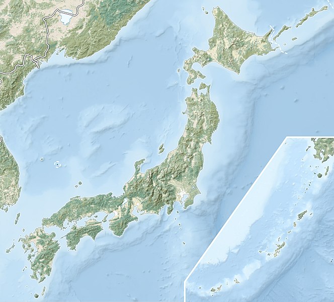
English: Natural Location map of Japan
Equirectangular projection. Geographic limits to locate objects in the main map with the main islands:
Geographic limits to locate objects in the side map with the Ryukyu Islands:
|
||
| Date | |||
| Source |
|
||
| Author | Alexrk2 | ||
| Permission (Reusing this file) |
This file is licensed under the Creative Commons Attribution-Share Alike 3.0 Unported license.
|
||
| Other versions |
|


File history
Click on a date/time to view the file as it appeared at that time.
| Date/Time | Thumbnail | Dimensions | User | Comment | |
|---|---|---|---|---|---|
| current | 17:41, 9 March 2022 | | 2,497 × 2,256 (830 KB) | wikimediacommons>Sting | Natural Earth land cover data for Ryukyu Islands |
File usage
The following 2 pages use this file: